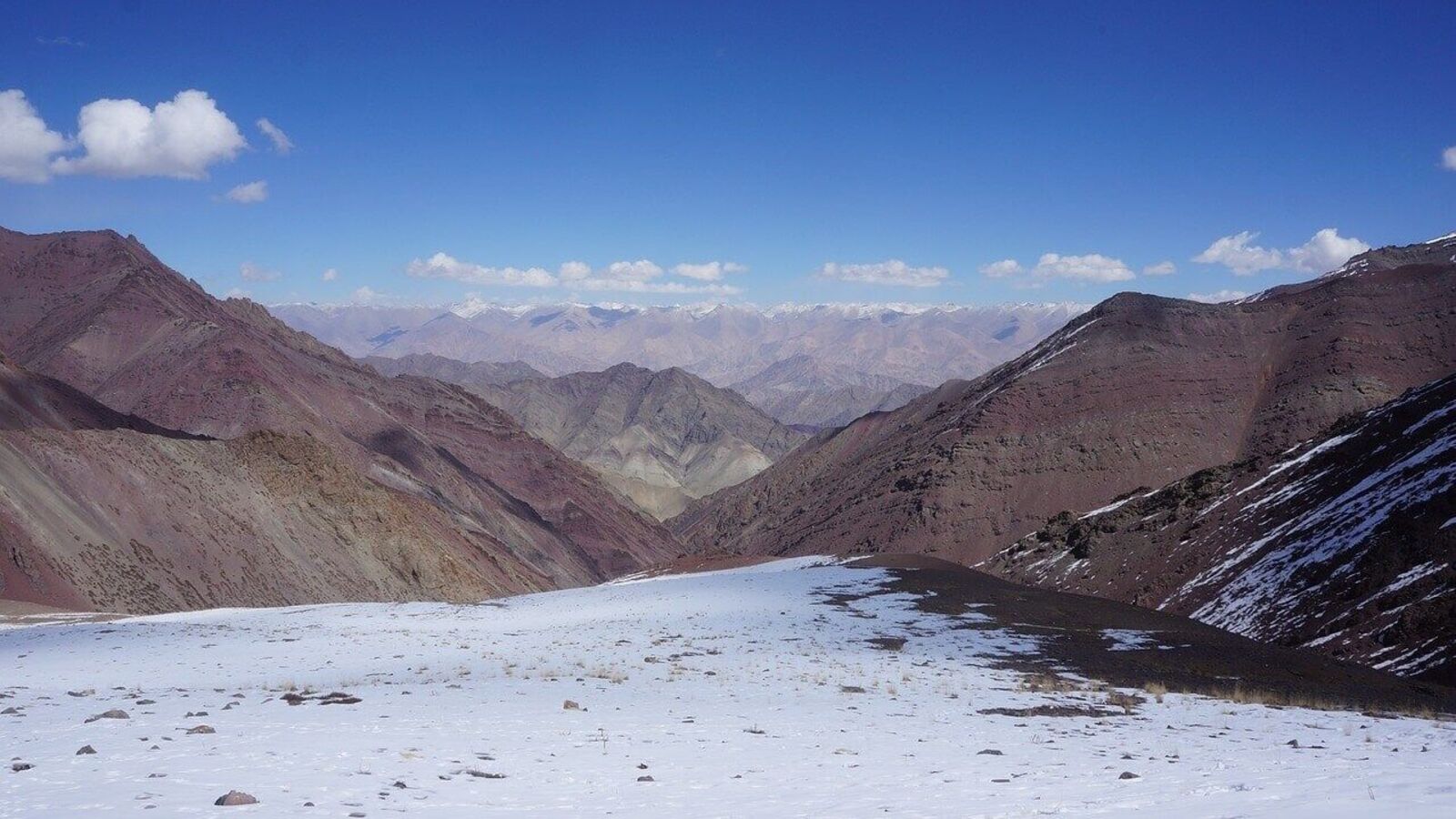
Leh, Ladakh: A Leh Ladakh earthquake of magnitude 4.7 shook the region on Friday, the National Centre for Seismology (NCS) reported. The tremor occurred at a depth of 28 km, classifying it as a shallow earthquake.
Earlier in the morning, another Leh Ladakh earthquake, measuring magnitude 3.9 at 8:31 AM, was also reported by the NCS. Both earthquakes were felt locally, though no casualties or major damage have been reported.
Leh Ladakh Earthquake Triggered by Himalayan Tectonic Movements
The NCS confirmed the coordinates of the stronger quake on X: latitude 36.706 N, longitude 74.458 E, while the earlier 3.9 tremor was located slightly south at latitude 36.692 N, longitude 74.382 E. According to experts, the Ladakh earthquake occurred due to tectonic movements in the Himalayan region, where the Indian Plate collides with the Eurasian Plate.
Also read : Chandigarh Air Show to Light Up Skies Over Sukhna Lake on March 27–28
Shallow earthquakes like Friday’s Ladakh earthquake typically occur at depths of less than 70 km, while intermediate and deep-focus earthquakes range between 70–700 km. Scientists continue to study seismic events to improve early warning systems and disaster preparedness.
Seismic monitoring and satellite observations, such as NASA-CNES SWOT, provide crucial insights into earthquake effects, including tsunami formation. While Friday’s tremors were inland, understanding earthquakes like the Leh Ladakh earthquake helps authorities and residents prepare for potential hazards in the Himalayan region.