
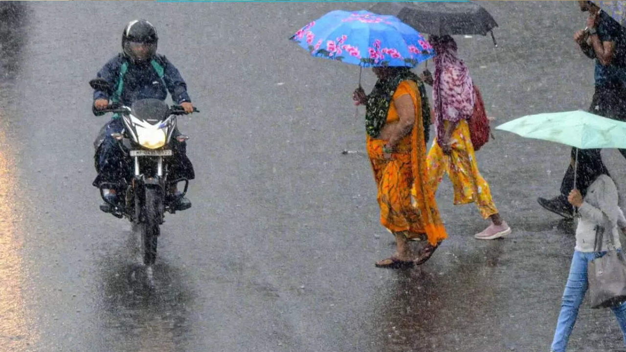
Rare Weather System Triggers Alert in Northern Hill States
The India Meteorological Department (IMD) has issued a high alert for Uttarakhand, Himachal Pradesh, and Jammu & Kashmir, warning of heavy to extremely heavy rainfall over the next few days.
According to the IMD, a rare overlap of the monsoon trough and an active western disturbance is driving this extreme weather. This unusual combination is expected to unleash intense showers, raise river levels, and trigger flash floods and landslides.
Officials said the rainfall will be spread over phases: Uttarakhand on September 1, Himachal Pradesh till September 2, and Jammu on September 2. The entire northwest region, including Punjab, Haryana, and Delhi, is likely to experience a prolonged three to four-day wet spell.
Why Experts Call This Rainfall Unusual
Western disturbances are generally a winter weather phenomenon, but this year they are interacting directly with the monsoon system. Experts describe this overlap as a volatile mix, producing unstable and dangerous weather.
IMD Director General Mrutyunjay Mohapatra highlighted that August already saw three such intense interactions, leading to flooding and landslides in Dharali (Uttarakhand), Kishtwar (Jammu & Kashmir), and Mandi (Himachal Pradesh).
Senior scientist Rohit Thapliyal at the Dehradun regional meteorological centre confirmed that a ‘red’ weather alert has been issued for several districts. These include Dehradun, Tehri, Pauri, Haridwar, Nainital, Champawat, Bageshwar, and Udham Singh Nagar.
He warned that the interaction of these weather systems will bring very heavy rainfall in Uttarakhand over the next 48 hours, with potential risks of flash floods and landslides.
The Science Behind the Heavy Showers
Meteorologists explained that the monsoon trough is running south of its usual path, while a cyclonic circulation linked to the western disturbance is hovering over north Pakistan and Punjab.
At the same time, circulations over Rajasthan and Madhya Pradesh are pulling large volumes of moisture from both the Arabian Sea and Bay of Bengal. When this moisture collides with the disturbance near the Himalayan foothills, it creates the conditions for widespread torrential rainfall.
The IMD noted that northwest India received 265 mm of rainfall in August, the highest for the month since 2001. This also ranked among the 15 wettest Augusts since 1901. With June and July already recording above-normal rainfall, the wet trend is expected to extend into September.
Preparedness and Risks Ahead
Authorities in the three hill states have been asked to stay on high alert. The IMD cautioned that fragile Himalayan slopes are particularly vulnerable to landslides, which may block highways and cut off key routes.
Officials also warned that heavy rains could disrupt pilgrimage routes, stranding tourists and devotees. Downstream towns and cities along Himalayan rivers face the risk of flooding, as swollen rivers carry excess rainwater.
On Saturday and Sunday, Uttarakhand and Himachal Pradesh already reported heavy showers, while Punjab, Haryana, Delhi, and parts of Uttar Pradesh also witnessed intense rain.
Disaster management teams have been instructed to stay prepared for evacuation efforts, while residents in high-risk zones are being advised to stay indoors and avoid travel unless necessary.
Experts cautioned that if the rains persist, the impact on lives, infrastructure, and tourism could be severe, with possible damage to roads, bridges, and mountain settlements.
Conclusion
The coming days are expected to be critical for the northern hill states. With rare weather patterns intensifying rainfall, vigilance, preparedness, and timely response will be essential to minimize loss of life and property.
The IMD continues to monitor the evolving situation and has urged citizens to follow official updates closely.